


A Guide to the Prehistoric Rock Engravings in the Italian Maritime Alps
Seiten
2016
Cambridge University Press (Verlag)
978-1-108-08258-7 (ISBN)
Cambridge University Press (Verlag)
978-1-108-08258-7 (ISBN)
An Anglican clergyman, archaeologist and botanist, Clarence Bicknell (1842–1918) settled on the Ligurian Riviera and studied in depth the thousands of Bronze Age petroglyphs he found in the Vallée des Merveilles. This 1913 work, the first thorough guidebook to the region, features numerous illustrations of the remarkable rock engravings.
In the mountainous border region between France and Italy lies the Vallée des Merveilles. Still surprisingly remote, and dominated by Mont Bégo, it contains alpine meadows, rare flora and fauna, spectacular glaciated rock formations, and over 35,000 Bronze Age rock engravings that are only free of snow for a few months of the year. Though this major archaeological site was mentioned in print around 1650, the first thorough guidebook was published in 1913 by Clarence Bicknell (1842–1918), a Cambridge graduate and Anglican clergyman who had settled on the Riviera around 1880. Bicknell published several books on the botany of the region, but it was not until the 1890s that he began in earnest to explore the petroglyphs, a project he continued into his seventies. He built up a collection of over 12,000 drawings, rubbings and photographs, which form the basis of the 46 plates that illustrate this book.
In the mountainous border region between France and Italy lies the Vallée des Merveilles. Still surprisingly remote, and dominated by Mont Bégo, it contains alpine meadows, rare flora and fauna, spectacular glaciated rock formations, and over 35,000 Bronze Age rock engravings that are only free of snow for a few months of the year. Though this major archaeological site was mentioned in print around 1650, the first thorough guidebook was published in 1913 by Clarence Bicknell (1842–1918), a Cambridge graduate and Anglican clergyman who had settled on the Riviera around 1880. Bicknell published several books on the botany of the region, but it was not until the 1890s that he began in earnest to explore the petroglyphs, a project he continued into his seventies. He built up a collection of over 12,000 drawings, rubbings and photographs, which form the basis of the 46 plates that illustrate this book.
Explanation of the plates; Preface; 1. The regions of the prehistoric rock engravings; 2. Accounts of the Laghi delle Meraviglie and Val Fontanalba regions by previous writers and visitors; 3. The story of our own explorations; 4. Description of the rock engravings; 5. Modern inscriptions; 6. The meaning of the figures; 7. Guide to the Fontanalba region; 8. Guide to the figured rocks in Val Valauretta, Val Valmasca and near Col Sabbione; 9. Guide to the Meraviglie region; Bibliography; Actual dimensions.
| Reihe/Serie | Cambridge Library Collection - Archaeology |
|---|---|
| Zusatzinfo | 46 Plates, black and white |
| Verlagsort | Cambridge |
| Sprache | englisch |
| Maße | 170 x 245 mm |
| Gewicht | 380 g |
| Themenwelt | Geisteswissenschaften ► Archäologie |
| Geschichte ► Allgemeine Geschichte ► Vor- und Frühgeschichte | |
| ISBN-10 | 1-108-08258-0 / 1108082580 |
| ISBN-13 | 978-1-108-08258-7 / 9781108082587 |
| Zustand | Neuware |
| Informationen gemäß Produktsicherheitsverordnung (GPSR) | |
| Haben Sie eine Frage zum Produkt? |
Mehr entdecken
aus dem Bereich

aus dem Bereich
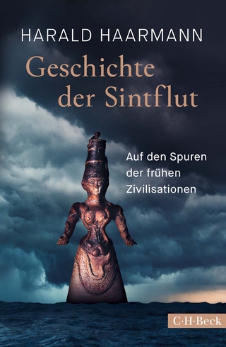
auf den Spuren der frühen Zivilisationen
Buch | Hardcover (2023)
C.H.Beck (Verlag)
CHF 27,95
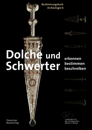
Erkennen. Bestimmen. Beschreiben
Buch | Softcover (2022)
Deutscher Kunstverlag
CHF 27,85